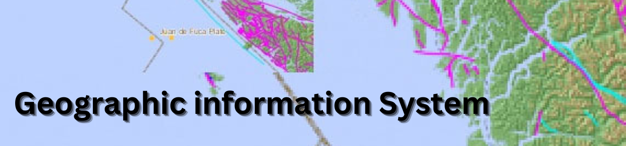
GIS (Geographic Information System) is a computer system that captures, stores and display that data according to the surface position of the Earth. We can see and analyze various kinds of information based on a particular location such as street name, landmark, zooming the location and many more on Google map with the help of GIS (Geographic Information System).
GIS applications incorporate both equipment and programming frameworks. These applications might incorporate cartographic information, visual information, computerized information, or information in calculation sheets.
Contact us for more information on how your company can benefit from Indigi's SAP consultation for business transformation, continuous process improvement, shared services design and implementation and more.